Klapý
Klapý is a municipality and village in Litoměřice District in the Ústí nad Labem Region of the Czech Republic. It has about 500 inhabitants.
Klapý | |
|---|---|
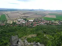 Klapý seen from Hazmburk | |
 Flag  Coat of arms | |
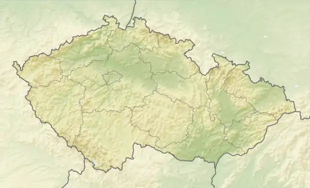 Klapý Location in the Czech Republic | |
| Coordinates: 50°25′53″N 14°0′24″E | |
| Country | |
| Region | Ústí nad Labem |
| District | Litoměřice |
| First mentioned | 1197 |
| Area | |
| • Total | 8.95 km2 (3.46 sq mi) |
| Elevation | 239 m (784 ft) |
| Population (2021-01-01)[1] | |
| • Total | 480 |
| • Density | 54/km2 (140/sq mi) |
| Time zone | UTC+1 (CET) |
| • Summer (DST) | UTC+2 (CEST) |
| Postal code | 411 16 |
| Website | www |
Klapý lies approximately 14 kilometres (9 mi) south-west of Litoměřice, 26 km (16 mi) south of Ústí nad Labem, and 49 km (30 mi) north-west of Prague.
Geography

Hazmburk Castle
The highest peak of the municipal territory is Hazmburk with an altitude of 418 metres (1,371 ft).
Sights
There is a ruin of a medieval castle on the Hazmburk hill.
Notable people
- Lubor J. Zink (1920–2003), Czech-Canadian writer
This article is issued from Wikipedia. The text is licensed under Creative Commons - Attribution - Sharealike. Additional terms may apply for the media files.