Uvinza
Uvinza is one of the eight administrative districts of Kigoma Region in Tanzania. The District covers an area of 10,058 km2 (3,883 sq mi).[1] Thus making it the largest district in the Kigoma region. Uvinza is bordered to the northwest by Kigoma District and Kigoma-Ujiji District. North of the district is bordered by Kasulu District . Lake Tanganyika borders the district on the west. Mpanda District in Katavi Region boders the district to the south and Kaliua District in Tabora Region borders the district to the east. The district is named in honor of the Vinza people whom the western part of district was their historic kingdom. According to the 2012 census, the district has a total population of 383,640.[2]
Uvinza
| |
|---|---|
 Salt Factory, Uvinza Ward, Uvinza District | |
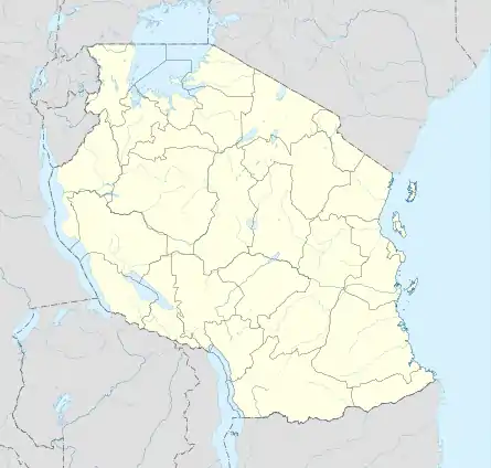 Uvinza Uvinza District location within Kigoma Region | |
| Coordinates: 5°6′24.84″S 30°23′2.04″E | |
| Country | |
| Region | Kigoma Region |
| Capital | Uvinza |
| Area | |
| • Total | 10,058 km2 (3,883 sq mi) |
| Population (2012) | |
| • Total | 383,640 |
| • Density | 38/km2 (99/sq mi) |
| Demonym(s) | Uvinzan |

Geography and Climate
Due to its immense size, Uvinza district has diverse goegraphy. The district is home to Mahale Mountains National Park and shares the largest coastline to lake Tanganyika in Kigoma region. The climate is tropical savanna climate (Köppen climate classification Aw).[3]
History
The area that is currenlty Uvinza district is historically known for its salt production in Tanzania. Uvinza was ruled by the Vinza people for hundred of years. During the German colonial period the town was named Neu Gottorp and under their occupation a railway line was built in the 1900s linking it to Dar es Salaam.
Economy
Uvinza town is the economic heart of Uvinza district. The town has a station on the Tanzanian Railways. The region is dominated by salt production, forestry and agriculture. In October 2007, it was proposed to build a branch railway to Bujumbura in Burundi junctioning off from there.[4] It is also served by Uvinza Airport, which is located around 2 miles (3.2 km) northeast of the town center. The airport consists of a single, non-paved airstrip which is approximately 3,000 feet (910 m) long.
There is currently a railway that will go from Uvinza to Gitega planned to be completed in 2027.[5]
Administrative subdivisions
As of 2012, Uvinza District was administratively divided into 14 wards wards.[6]
References
- "Tanzania: Lake Zone(Districts and Wards) - Population Statistics, Charts and Map".
- "2012 Population and Housing Census General Report" (PDF). Government of Tanzania. Retrieved 2022-03-06.
- https://www.mindat.org/feature-149050.html
- Railway Gazette International November 2007, p. 688
- {{cite web|title=Tanzania, Burundi plan for railway and refinery |newspaper=The EastAfrican | url=https://www.theeastafrican.co.ke/tea/news/east-africa/tanzania-burundi-plan-for-railway
- "Kigoma-Ujiji Municipal Council". Government of Tanzania. Retrieved 2022-03-06.