Statenice
Statenice is a municipality and village in Prague-West District in the Central Bohemian Region of the Czech Republic. It has about 1,600 inhabitants.
Statenice | |
|---|---|
 Castle building waiting for reconstruction | |
 Flag  Coat of arms | |
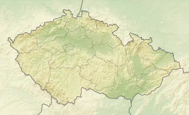 Statenice Location in the Czech Republic | |
| Coordinates: 50°8′34″N 14°19′7″E | |
| Country | |
| Region | Central Bohemian |
| District | Prague-West |
| First mentioned | 1227 |
| Area | |
| • Total | 3.79 km2 (1.46 sq mi) |
| Elevation | 258 m (846 ft) |
| Population (2021-01-01)[1] | |
| • Total | 1,603 |
| • Density | 420/km2 (1,100/sq mi) |
| Time zone | UTC+1 (CET) |
| • Summer (DST) | UTC+2 (CEST) |
| Postal code | 252 62 |
| Website | www |
Administrative parts
The village of Černý Vůl is an administrative part of Statenice.
This article is issued from Wikipedia. The text is licensed under Creative Commons - Attribution - Sharealike. Additional terms may apply for the media files.