Slup, Czech Republic
Slup (until 1949 Čule; German: Zulb) is a municipality and village in Znojmo District in the South Moravian Region of the Czech Republic. It has about 500 inhabitants.
Slup | |
|---|---|
 Water mill, a technical monument | |
 Flag  Coat of arms | |
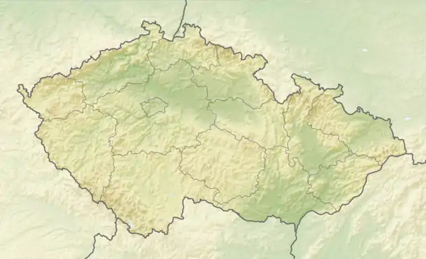 Slup Location in the Czech Republic | |
| Coordinates: 48°46′54″N 16°11′57″E | |
| Country | |
| Region | South Moravian |
| District | Znojmo |
| First mentioned | 1228 |
| Area | |
| • Total | 15.72 km2 (6.07 sq mi) |
| Elevation | 191 m (627 ft) |
| Population (2021-01-01)[1] | |
| • Total | 494 |
| • Density | 31/km2 (81/sq mi) |
| Time zone | UTC+1 (CET) |
| • Summer (DST) | UTC+2 (CEST) |
| Postal code | 671 28 |
| Website | www |
Slup lies approximately 15 kilometres (9 mi) south-east of Znojmo, 58 km (36 mi) south-west of Brno, and 195 km (121 mi) south-east of Prague.
Administrative parts
The village of Oleksovičky is an administrative part of Slup.
This article is issued from Wikipedia. The text is licensed under Creative Commons - Attribution - Sharealike. Additional terms may apply for the media files.