Sebaldeburen
Sebaldeburen is a village in Westerkwartier municipality in the Dutch province of Groningen. It had a population of around 590 in January 2017.[3]
Sebaldeburen | |
|---|---|
 Sebaldeburen church | |
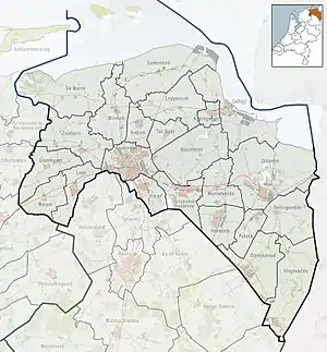 Sebaldeburen Location of the village in the province of Groningen  Sebaldeburen Sebaldeburen (Netherlands) | |
| Coordinates: 53°13′N 6°17′E | |
| Country | Netherlands |
| Province | Groningen |
| Municipality | Westerkwartier |
| Area | |
| • Total | 5.82 km2 (2.25 sq mi) |
| Elevation | 0.3 m (1.0 ft) |
| Population (2021)[1] | |
| • Total | 565 |
| • Density | 97/km2 (250/sq mi) |
| Postal code | 9862[1] |
| Dialing code | 0594 |
History
The village was first mentioned in the 13th century as "in Sibaldebuere hove", and means "settlement of Sibald (person)".[4] Sebaldeburen is a road village which developed in the Middle Ages on a sandy ridge.[5]
The Dutch Reformed church was built in 1807. The polder mill De Eendracht dates from 1887 as the replacement of a mill from 1801 which burnt down.[5]
Sebaldeburen used to the capital of Langewold. Later it became part of the municipality of Grootegast. It was home to 278 people in 1840.[6]
Gallery
 Former clergy house
 Windmill in Sebaldeburen
References
- "Kerncijfers wijken en buurten 2021". Central Bureau of Statistics. Retrieved 9 April 2022.
two entries
- "Postcodetool for 9862PA". Actueel Hoogtebestand Nederland (in Dutch). Het Waterschapshuis. Retrieved 8 April 2022.
- Kerncijfers wijken en buurten 2017 - CSB Statline
- "Sebaldeburen - (geografische naam)". Etymologiebank (in Dutch). Retrieved 9 April 2022.
- Ronald Stenvert & Redmer Alma (1998). "Sebaldeburen" (in Dutch). Zwolle: Waanders. ISBN 90 400 9258 3. Retrieved 9 April 2022.
- "Sebaldaburen". Plaatsengids (in Dutch). Retrieved 9 April 2022.
External links
 Media related to Sebaldeburen at Wikimedia Commons
This article is issued from Wikipedia. The text is licensed under Creative Commons - Attribution - Sharealike. Additional terms may apply for the media files.