Pensons Arm, Newfoundland and Labrador
Pensons Arm (also known as Pinsent's Arm) is a local service district and designated place in the Canadian province of Newfoundland and Labrador. Pensons Arm, is a coastal village in Labrador, 20 km southeast of Charlottetown. It has a population of 43 in the 2021 census.[1]
Pensons Arm | |
|---|---|
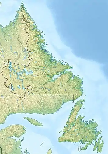 Pensons Arm Location of Pensons Arm  Pensons Arm Pensons Arm (Canada) | |
| Coordinates: 52.686°N 55.892°W | |
| Country | Canada |
| Province | Newfoundland and Labrador |
| Region | Labrador |
| Census division | 10 |
| Census subdivision | B |
| Government | |
| • Type | Unincorporated |
| Area | |
| • Land | 3.23 km2 (1.25 sq mi) |
| Population (2021) | |
| • Total | 43 |
| Time zone | UTC−04:00 (AST) |
| • Summer (DST) | UTC−03:00 (ADT) |
| Area code(s) | 709 |
| Highways | |
Geography
Pensons Arm is in Labrador within Subdivision B of Division No. 10.[2]
Demographics
As a designated place in the 2016 Census of Population conducted by Statistics Canada, Pensons Arm recorded a population of 61 living in 20 of its 21 total private dwellings, a change of 15.1% from its 2011 population of 53. With a land area of 3.23 km2 (1.25 sq mi), it had a population density of 18.9/km2 (48.9/sq mi) in 2016.[3]
Government
Pensons Arm is a local service district (LSD)[4] that is governed by a committee responsible for the provision of certain services to the community.[5] The chair of the LSD committee is Harrison Campbell.[4]
See also
References
- "Census Profile, 2021 Census, Statistics Canada - Validation Error".
- "Population and dwelling counts, for Canada, provinces and territories, census divisions, census subdivisions (municipalities) and designated places, 2016 and 2011 censuses – 100% data (Newfoundland and Labrador)". Statistics Canada. February 7, 2018. Retrieved December 23, 2021.
- "Population and dwelling counts, for Canada, provinces and territories, and designated places, 2016 and 2011 censuses – 100% data (Newfoundland and Labrador)". Statistics Canada. February 7, 2018. Retrieved December 22, 2021.
- "Directory of Local Service Districts" (PDF). Government of Newfoundland and Labrador. October 2021. Retrieved January 1, 2022.
- "Local Service Districts – Frequently Asked Questions". Government of Newfoundland and Labrador. Retrieved January 1, 2022.