Otnice
Otnice is a municipality and village in Vyškov District in the South Moravian Region of the Czech Republic. It has about 1,600 inhabitants.
Otnice | |
|---|---|
 Centre of Otnice | |
 Flag  Coat of arms | |
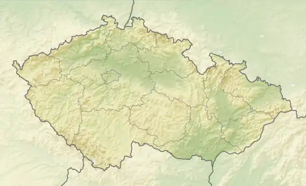 Otnice Location in the Czech Republic | |
| Coordinates: 49°5′11″N 16°48′52″E | |
| Country | |
| Region | South Moravian |
| District | Vyškov |
| First mentioned | 1255 |
| Area | |
| • Total | 8.70 km2 (3.36 sq mi) |
| Elevation | 216 m (709 ft) |
| Population (2021-01-01)[1] | |
| • Total | 1,611 |
| • Density | 190/km2 (480/sq mi) |
| Time zone | UTC+1 (CET) |
| • Summer (DST) | UTC+2 (CEST) |
| Postal code | 683 54 |
| Website | www |
It is located 20 km (12 mi) southeast of Brno.
History
The first written mention of Otnice is from 1255.[2]
Economy
The municipality is mainly focused on agriculture.[2]
Sights
The main sight is the parish Church of Saint Aloysius. The current Neo-Renaissance structure was built in 1855–1856.[2]
References
- "Population of Municipalities – 1 January 2021". Czech Statistical Office. 2021-04-30.
- "Základní údaje" (in Czech). Obec Otnice. Retrieved 2021-11-30.
This article is issued from Wikipedia. The text is licensed under Creative Commons - Attribution - Sharealike. Additional terms may apply for the media files.