Jirny
Jirny is a municipality and village in Prague-East District in the Central Bohemian Region of the Czech Republic. It has about 3,000 inhabitants. It lies on the D11 motorway.
Jirny | |
|---|---|
 Jirny Castle | |
 Flag  Coat of arms | |
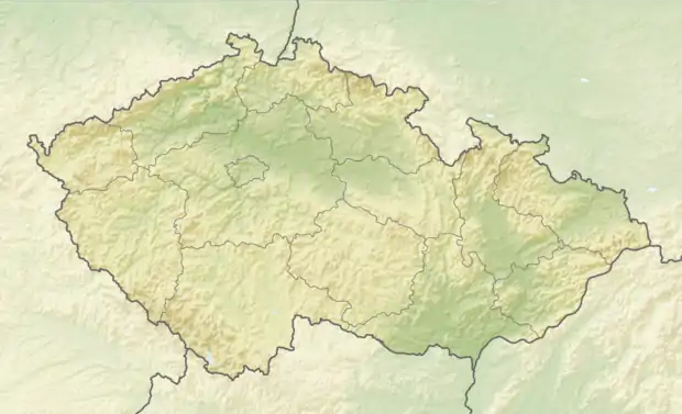 Jirny Location in the Czech Republic | |
| Coordinates: 50°6′57″N 14°41′57″E | |
| Country | |
| Region | Central Bohemian |
| District | Prague-East |
| First mentioned | 1350 |
| Area | |
| • Total | 8.26 km2 (3.19 sq mi) |
| Elevation | 250 m (820 ft) |
| Population (2022-01-01)[1] | |
| • Total | 2,988 |
| • Density | 360/km2 (940/sq mi) |
| Time zone | UTC+1 (CET) |
| • Summer (DST) | UTC+2 (CEST) |
| Postal code | 250 90 |
| Website | www |
Administrative parts
The village of Nové Jirny is an administrative part of Jirny.
Geography
Jirny lies about 5 kilometres (3 mi) northeast of Prague, in the agricultural landscape of Central Elbe Table. Návesní Pond is located in the centre of the municipality.
This article is issued from Wikipedia. The text is licensed under Creative Commons - Attribution - Sharealike. Additional terms may apply for the media files.