Flodday (Sound of Barra)
Flodday or Flodaigh (Scottish Gaelic), is a currently uninhabited island that lies to the north east of Barra and is one of ten islands in the Sound of Barra, a Site of Community Importance for conservation in the Outer Hebrides, Scotland. Its name derives from the Old Norse for "flat island".
| Scottish Gaelic name | Flodaigh |
|---|---|
| Old Norse name | floti |
| Meaning of name | 'raft' or 'float' island |
| Location | |
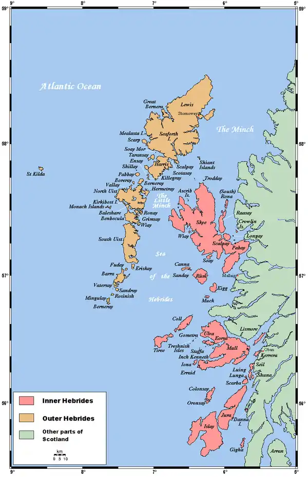
 Flodday Flodday shown within the Outer Hebrides | |
| OS grid reference | NF751022 |
| Coordinates | 57.00°N 7.35°W |
| Physical geography | |
| Island group | Uists and Barra |
| Area | 40 ha (99 acres) |
| Area rank | 220= [1] |
| Highest elevation | 41 m (135 ft) |
| Administration | |
| Sovereign state | United Kingdom |
| Country | Scotland |
| Council area | Na h-Eileanan Siar |
| Demographics | |
| Population | 0[2] |
| References | [3][4] |
Geography and geology
The island is gneiss with fertile soil. A reef to the north ends in a drying islet, Snagaras.[3]
Notes and references
- Area and population ranks: there are c. 300 islands over 20 ha in extent and 93 permanently inhabited islands were listed in the 2011 census.
- National Records of Scotland (15 August 2013). "Appendix 2: Population and households on Scotland's Inhabited Islands" (PDF). Statistical Bulletin: 2011 Census: First Results on Population and Household Estimates for Scotland Release 1C (Part Two) (PDF) (Report). SG/2013/126. Retrieved 14 August 2020.
- Haswell-Smith, Hamish (2004). The Scottish Islands. Edinburgh: Canongate. ISBN 978-1-84195-454-7.
- Ordnance Survey. OS Maps Online (Map). 1:25,000. Leisure.
This article is issued from Wikipedia. The text is licensed under Creative Commons - Attribution - Sharealike. Additional terms may apply for the media files.