Colchester, Eastern Cape
Colchester is a settlement in the Eastern Cape province of South Africa. It forms part of the Nelson Mandela Bay Metropolitan Municipality which governs Port Elizabeth and surrounding towns and suburbs.
Colchester | |
|---|---|
 Colchester 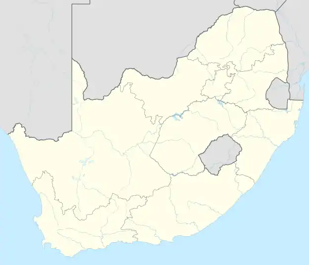 Colchester  Colchester | |
| Coordinates: 33.683333°S 25.8°E | |
| Country | South Africa |
| Province | Eastern Cape |
| Municipality | Nelson Mandela Bay |
| Area | |
| • Total | 5.73 km2 (2.21 sq mi) |
| Population (2011)[1] | |
| • Total | 2,073 |
| • Density | 360/km2 (940/sq mi) |
| Racial makeup (2011) | |
| • Black African | 41.8% |
| • Coloured | 20.8% |
| • Indian/Asian | 0.4% |
| • White | 35.9% |
| • Other | 1.2% |
| First languages (2011) | |
| • Afrikaans | 48.5% |
| • Xhosa | 33.2% |
| • English | 14.7% |
| • Other | 3.6% |
| Time zone | UTC+2 (SAST) |
| Postal code (street) | 6175 |
| PO box | 6001 |
Geography
The small town of Colchester lies about 40 kilometres north-east of Port Elizabeth (since 2021 renamed Gqeberha). It also lies on the N2 about 20 minutes from Gqeberha and an 1 hour from Makhanda.[2][3]
It lies on the banks of the Sundays River and the south-eastern border of the Sundays River Valley region.[4]
References
- "Main Place Colchester". Census 2011.
- "Port Elizabeth Central to Colchester". Port Elizabeth Central to Colchester. Retrieved 1 August 2020.
- "Grahamstown to Colchester". Grahamstown to Colchester. Retrieved 1 August 2020.
- "Sundays River Valley". Visit Eastern Cape. Retrieved 1 August 2020.
Municipalities and communities of Nelson Mandela Bay Metropolitan Municipality, Eastern Cape | ||
|---|---|---|
District seat: Port Elizabeth (Gqeberha) | ||
| Cities and towns | .svg.png.webp) Nelson Mandela Bay within South Africa | |
This article is issued from Wikipedia. The text is licensed under Creative Commons - Attribution - Sharealike. Additional terms may apply for the media files.