Barnflair
Barnflair is a hamlet in the Dutch province of Groningen. It is a part of the municipality of Westerwolde, and lies about 15 km northeast of Emmen.
Barnflair | |
|---|---|
 | |
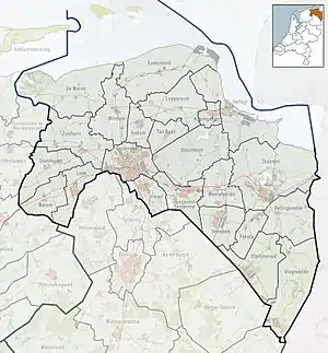 Barnflair Location in the province of Groningen in the Netherlands  Barnflair Barnflair (Netherlands) | |
| Coordinates: 52°51′5″N 7°4′54″E | |
| Country | Netherlands |
| Province | Groningen |
| Municipality | Westerwolde |
| Area | |
| • Total | 1.73 km2 (0.67 sq mi) |
| Elevation | 12 m (39 ft) |
| Population (2021)[1] | |
| • Total | 205 |
| • Density | 120/km2 (310/sq mi) |
| Postal code | 9561[1] |
| Dialing code | 0599 |
History
It was first mentioned in 1466 as "an dat Barenvledder", and means "moorland which can be used as a fuel".[3] The postal authorities have placed Barnflair under Ter Apel,[4] and it is considered part of the build up area of Ter Apel, however it is still slightly outside of the village, and could be considered a hamlet.[5] Barnflair consists of about 100 house.[5]
References
- "Kerncijfers wijken en buurten 2021". Central Bureau of Statistics. Retrieved 9 April 2022.
- "Postcodetool for 9561AA". Actueel Hoogtebestand Nederland (in Dutch). Het Waterschapshuis. Retrieved 8 April 2022.
- "Barnflair - (geografische naam)". Etymologiebank (in Dutch). Retrieved 9 April 2022.
- "Postcode 9561 in Ter Apel". Postcode bij adres (in Dutch). Retrieved 9 April 2022.
- "Barnflair". plaatsengids (in Dutch). Retrieved 9 April 2022.
This article is issued from Wikipedia. The text is licensed under Creative Commons - Attribution - Sharealike. Additional terms may apply for the media files.