Sittaung Bridge (Moppalin)
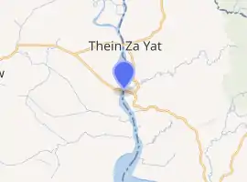
The Sittaung Bridge at Moppalin (Burmese: စစ်တောင်းတံတား (မုပ္ပလင်)) is a steel bridge spanning the Sittaung river between Waw, Bago Region and Moppalin, Mon State of Myanmar. The bridge is 729.295 metres (2,392.70 ft) long, and has a capacity of 50 tonnes. It is the second bridge across the Sittaung. The older Sittaung Bridge at Theinzayat cannot serve heavier trucks.[1]
Sittaung Bridge | |
|---|---|
 စစ်တောင်းတံတား (မုပ္ပလင်) | |
| Coordinates | 17°27′08″N 96°52′34″E |
| Crosses | Sittaung River |
| Locale | Waw, Bago Region and Moppalin, Mon State |
| Official name | Sittaung Bridge at Moppalin |
| Maintained by | Ministry of Transportation |
| Characteristics | |
| Total length | 729.295 m (2,392.7 ft) |
| Width | 12.192 m (40.0 ft) |
| Longest span | 416.052 m (1,365.0 ft) |
| Clearance above | 6.096 m (20.0 ft) |
| Clearance below | 89.916 m (295.0 ft) |
| History | |
| Opened | 12 July 2008[1] |
| Statistics | |
| Daily traffic | unknown |
| Toll | unknown |
| Location | |
 | |
References
- Win Naing (Kyemon) (2009-07-29). "Sittaung Bridge (Moppalin), Gateway to Mon State" (PDF). New Light of Myanmar. HKA (translator). pp. 1, 7.
This article is issued from Wikipedia. The text is licensed under Creative Commons - Attribution - Sharealike. Additional terms may apply for the media files.