Santa Ana (canton)
Santa Ana is a canton in the San José province of Costa Rica.[2][3]
Santa Ana | |
|---|---|
 View of the mountains in Salitral, Santa Ana. | |
 Flag  Seal | |
 Santa Ana canton | |
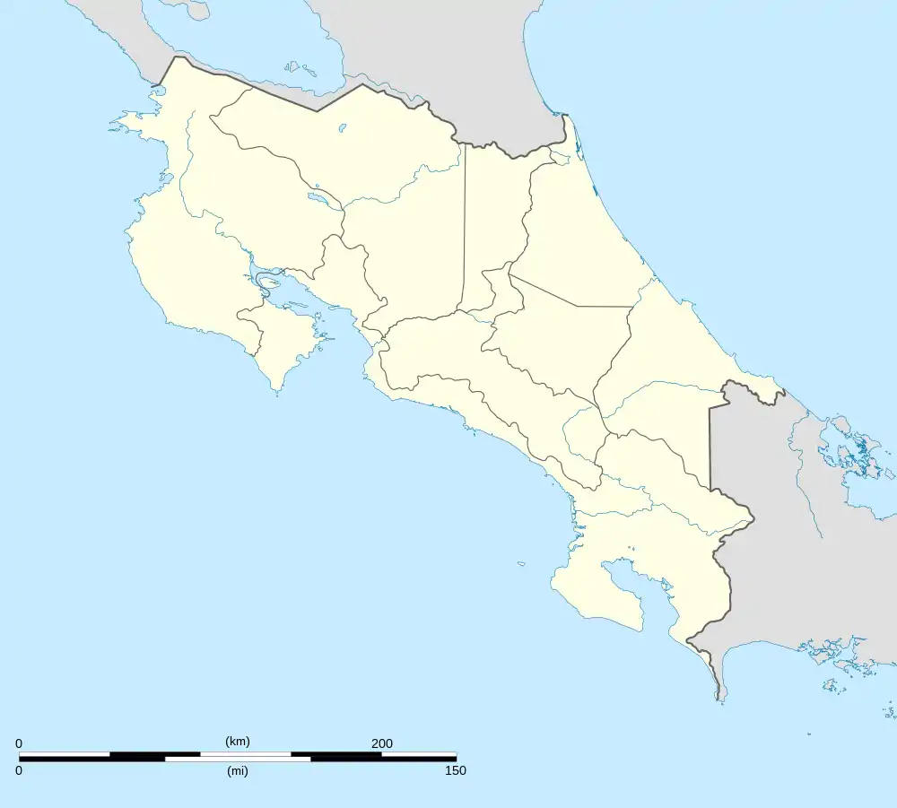 Santa Ana Santa Ana canton location in Costa Rica | |
| Coordinates: 9.9184253°N 84.1957531°W | |
| Country | |
| Province | San José |
| Creation | 29 August 1907[1] |
| Head city | Santa Ana |
| Districts | |
| Government | |
| • Type | Municipality |
| • Body | Municipalidad de Santa Ana |
| • Mayor | Gerardo Oviedo Espinoza (PLN) |
| Area | |
| • Total | 61.42 km2 (23.71 sq mi) |
| Elevation | 904 m (2,966 ft) |
| Population (2011) | |
| • Total | 49,123 |
| • Density | 800/km2 (2,100/sq mi) |
| Time zone | UTC−06:00 |
| Canton code | 109 |
| Website | www |
History
Santa Ana was created on 29 August 1907 by decree 8.[3]
Geography
Santa Ana has an area of 61.42 km²[4] and a mean elevation of 904 metres.[2]
The triangular-shaped canton is delineated by the Virilla River on the north and stretches south as it narrows to include a portion of the Cerros de Escazú.
Districts
The canton of Santa Ana is subdivided into the following districts:
Demographics
| Historical population | |||
|---|---|---|---|
| Census | Pop. | %± | |
| 1927 | 3,785 | — | |
| 1950 | 5,812 | 53.6% | |
| 1963 | 9,026 | 55.3% | |
| 1973 | 14,499 | 60.6% | |
| 1984 | 19,605 | 35.2% | |
| 2000 | 34,507 | 76.0% | |
| 2011 | 49,123 | 42.4% | |
|
Instituto Nacional de Estadística y Censos[5] |
|||
For the 2011 census, Santa Ana had a population of 49,123 inhabitants. [7]
Transportation
Road transportation
The canton is covered by the following road routes:
References
- Hernández, Hermógenes (1985). Costa Rica: evolución territorial y principales censos de población 1502 - 1984 (in Spanish) (1 ed.). San José: Editorial Universidad Estatal a Distancia. pp. 164–173. ISBN 9977-64-243-5. Retrieved 5 October 2020.
- "Declara oficial para efectos administrativos, la aprobación de la División Territorial Administrativa de la República N°41548-MGP". Sistema Costarricense de Información Jurídica (in Spanish). 19 March 2019. Retrieved 26 September 2020.
- División Territorial Administrativa de la República de Costa Rica (PDF) (in Spanish). Editorial Digital de la Imprenta Nacional. 8 March 2017. ISBN 978-9977-58-477-5.
- "Área en kilómetros cuadrados, según provincia, cantón y distrito administrativo". Instituto Nacional de Estadística y Censos (in Spanish). Retrieved 26 September 2020.
- "Instituto Nacional de Estadística y Censos" (in Spanish).
- "Sistema de Consulta de a Bases de Datos Estadísticas". Centro Centroamericano de Población (in Spanish).
- "Censo. 2011. Población total por zona y sexo, según provincia, cantón y distrito". Instituto Nacional de Estadística y Censos (in Spanish). Retrieved 26 September 2020.
This article is issued from Wikipedia. The text is licensed under Creative Commons - Attribution - Sharealike. Additional terms may apply for the media files.