Kyrkjebygda
Kyrkjebygda or Kyrkjebygdi is the administrative centre of Åseral municipality in Agder county, Norway. The village is located on a small flat plain in a valley at the northern end of the lake Øre at the confluence of the rivers Logna and Monn. The Monn river valley heads north-northwest to the village of Ljosland and the Logna river valley heads north-northeast to the villages of Åknes and Bortelid.
Kyrkjebygda
Kyrkjebygdi | |
|---|---|
Village | |
 View of the village church | |
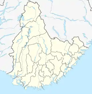
 Kyrkjebygda Location of the village  Kyrkjebygda Kyrkjebygda (Norway) | |
| Coordinates: 58°36′54″N 07°24′50″E | |
| Country | Norway |
| Region | Southern Norway |
| County | Agder |
| District | Lindesnes |
| Municipality | Åseral |
| Elevation | 269 m (883 ft) |
| Time zone | UTC+01:00 (CET) |
| • Summer (DST) | UTC+02:00 (CEST) |
| Post Code | 4540 Åseral |
The name Kyrkjebygda literally means "church village" in the Norwegian language. It has this name since it has been the site of Åseral Church for centuries.[2]
References
- "Kyrkjebygda, Åseral (Vest-Agder)". yr.no. Retrieved 11 November 2016.
- "Åseral kyrkje" (in Norwegian). SetesdalsWiki. Retrieved 11 November 2016.
This article is issued from Wikipedia. The text is licensed under Creative Commons - Attribution - Sharealike. Additional terms may apply for the media files.