Parque Natural de Gorbeia
The Parque Natural de Gorbeia is a natural park in the autonomous community of the Basque Country in northern Spain. It is the largest Basque natural park, with an area of 200 km2 (77 sq mi). It centres on the Gorbeia massif, and includes the municipios of Areatza, Artea, Orozko, Zeberio and Zeanuri in Vizcaya, and Zigoitia, Zuia and Urkabustaiz in Álava. With the nearby natural park of Urkiola, it forms an important environmental unit.
| Parque Natural de Gorbeia | |
|---|---|
| |
IUCN category V (protected landscape/seascape) | |
.JPG.webp) Gujuli waterfall | |
 Map of Spain 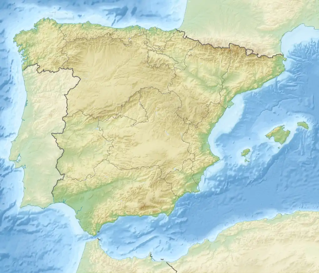 Parque Natural de Gorbeia (Spain) | |
| Location | Alava and Vizcaya provinces Basque Country, Spain |
| Coordinates | 43.035°N 2.817°W |
| Area | 200 km2 (77 sq mi) |
| Established | 1994 |

The park was established by decree of the Basque Government in 1994.[1]
It is named for Gorbea, its highest peak (1482 m). Other peaks of interest are Aldamin Peña (1373 m) and the Peñas de Itxina.
Mount Gorbea, the heart of the park
Gorbea Natural Park is formed around Mount Gorbea, and the peaks surrounding it. The summit of 1,482 m (4,862 ft) above sea level is a fundamental reference of the inhabitants of Alava and Vizcaya. For the Basques the Gorbea has been one of the mountains bocineros of which are calling for General Meetings. The summit of the mountain is surmounted by a cross of 18 m (59 ft) in height (the first that was installed was 33.33 m (109.4 ft) and the second 22 m (72 ft)) installed in the early twentieth century and has become a symbol for all Basques coming to form part of popular culture.

_AGA7421.jpg.webp)
References
- José Manuel Goikoetxea Askorbe (21 June 1994). DECRETO 228/1994, de 21 de junio, por el que se declara Parque Natural el área de Gorbeia. (in Basque and Spanish). Euskal Herriko Agintaritzaren Aldizkaria/Boletín Oficial del País Vasco 154 (16 August 1994): 9591–9598.
External links
| Wikimedia Commons has media related to Gorbeia Natural Park. |